London, England/london7-280
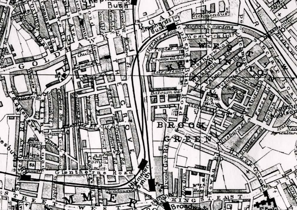
Previous | Home | NextIn this map of the late 1888, Masboro Road is shown extending north from the Brook Green Park. The southern extension of Masboro Road today is known as Caithness Road (see Garmin map). The road parallel to and southeast of Masboro on this 1888 map is Girdler's Lane. Today, between Caithness Road and Girdler's Road (Lane) is Aynhoe Road (see Garmin map), taken from Aynhoe, Northhampshire where Joseph and his wife Mary Scott married. The farm's boundaries are roughly defined by Caithness Road (old Masboro Road) and Aynhoe Road. See next photo for identifications.
