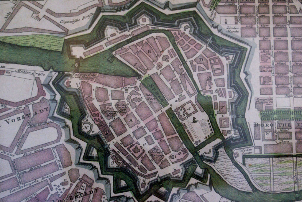
Berlin, Germany/berlin140
Previous | Home | NextFor this map, north is down and south is up. This and the following five photos show a map of Berlin, on the wall beside the wooden model, dating from about the same time (1738). This is a "Kolorierter Kupferstich" (copperplate engraving). Berlin is identified by "A"; Cölln is "B"; Neu Cölln = "C"; Friedrichswerder = "D." (Werder means island or inlet). Friedrichsstadt is not identified, but is the upper right (southwest). Dorotheenstadt is lower right (northwest), north of Under den Linden. Klaproth's activity was in Berlin ("A").
