Nagyag, Romania/nagyag025
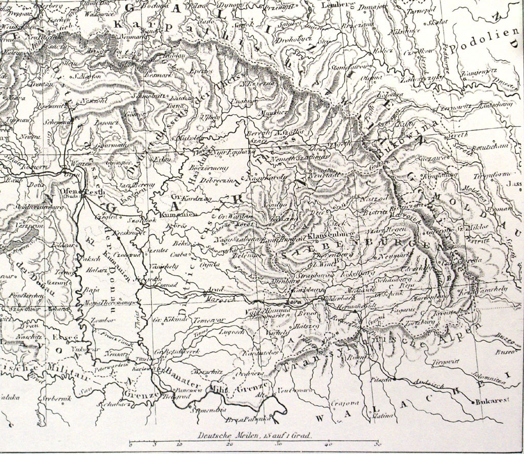
Previous | Home | NextHere is the map used by Edward Daniel Clarke in historic Hungary. Refer to the next map for the key. "Siebenbürgen" (highlighted in red in next view) was the German name for the Transylvanian mountains, dervied from the so-called seven cities of the area. On broader-scale maps, "Turkey" (the Ottoman Empire) is identified just to the south of the region in this map; this empire had extended its conquests just to the gates of Vienna in 1683, and since then its influence had waned. Clarke saw remnants of Turkish political influence during his travels in this region.
