Sibiu, Romania/sibiu154
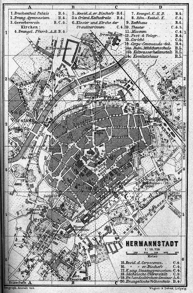
Previous | Home | NextHere is a map of Hermannstadt of the 19th century. Interested persons can compare a modern map with this one to identify streets, etc., by their original German names. In the center of the old city is Piata Mare, which on the map was labeled "Gr[osser] Ring." The Brukenthal Palais is on the southwest side of the "Ring," labeled with "1" in the legend of this map. Just north of Grosser Ring is "Kl[einer] Ring (Piata Mica = Small Square). "Fleischer," the street of Reichenstein, leads southwest from the city center.
